About Map3D
What is Map3D
Map3D is a fully integrated three-dimensional layout (CAD), visualization (GIS) and stability analysis package (BEM elasto-plastic numerical modelling stress analysis). Various integrated program modules (Map3D Versions ) can be used to construct models, analyze and display stresses, strains, displacements, strength factors and probability of failure contours. Map3D is suitable for building and modelling rock and soil engineering design problems involving both irregular 3D massive excavations, tunnels, faults and tabular shapes.
Models can include underground excavations, rock slopes, open pits, tunnels, fractures and surface infrastructure loads. The stress analysis models can simulate yielding (non-linear) zones of different moduli (e.g. stiff dykes or soft ore zones) and loads due to steady state thermal/fluid flow. Excavations can be intersected by multiple discrete faults (non-planar and gouge filled) that slip and open. Map3D can simulate ground support elements such as arches, steel sets, props, thick liners, chalks, backfill etc.
Who we are
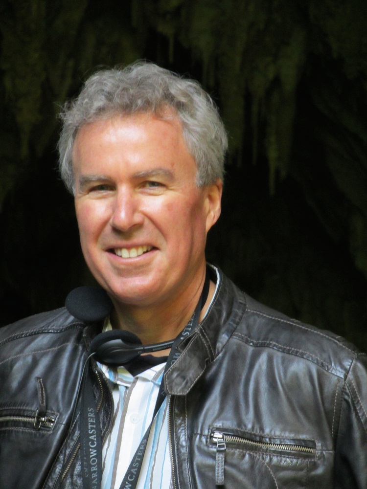
Map3D is developed and supported by Dr. Terry Wiles (support@map3d.com) of Map3D International Ltd. Development of Map3D began in the late 1970's and has gone through many major revisions since then. It has been commercially available since 1990. The program is constantly under development and supported by dedicated professionals who have been in the rock mechanics/numerical modelling business for over 40 years.
Usage
The program is used by many hundreds of mining, civil and geotechnical companies, consultants, research centres and universities around the world (including Argentina, Armenia, Australia, Austria, Belgium, Bolivia, Botswana, Brazil, Bulgaria, Burkina Faso, Canada, China, Columbia, Democratic Republic of Congo, Dominican Republic, Ecuador, Egypt, El Salvador, England, Eritrea, Finland, Ghana, Greece, Guatemala, Honduras, India, Indonesia, Ireland, Italy, Japan, Kazakhstan, Korea, Mali, Mexico, Morocco, Mongolia, Namibia, Nedlands, Nicaragua, Papua New Guinea, Peru, Philippines, Portugal, Russia, Saudi Arabia, South Africa, Spain, Sweden, Switzerland, Tanzania, Turkey, UK, USA, Zambia and Zimbabwe).
Map3D is often specified as a prerequisite for employment on job advertisements. The demo version is used worldwide for teaching students the fundamentals of numerical modelling and 3D CAD.It has been used in many projects including underground and open pit mine design, mine stability assessment, rock burst hazard assessments, nuclear waste repository design, fracture propagation simulations, fault slip problems, in situ stress back-analysis, rock quarry design, open-pit wall stability, hydraulic-fracture propagation, earth slope failures, etc.. Current research and development is focusing on quantitative design procedures, 3D plastic modelling, ground support simulation, the capability to assess the potential for rock bursting, simulation of discing and integration of modelling with seismic monitoring.
Contact
Dr. Terry Wiles P.Eng, PhD, MaSc, BaSc. Director
2011 Rock Mechanics Award of the Rock Engineering Society of the Canadian Institute of Mining, Metallurgy and Petroleum (CIM). "Dr. Terry Wiles has made significant and practical contributions to the practice of mining and rock engineering by bringing scientific advancements and training in numerical modelling design to many mine sites in Canada, and around the world. He has, furthermore, developed what is arguably some of the most utilized and practically-applied modelling software that currently exists at mine sites. Additionally, he has provided on-site training for the application of numerical modelling theory to several generations of rock mechanics engineers who are continuing his tradition of training future young mining engineers to become productive members of the mining engineering community."
2016 inductee to the International Mining Technology Hall of Fame "Since its introduction, the software developed by Wiles has been the most widely used stress analysis software at mines sites worldwide. It is currently used by many hundreds of mining, civil and geotechnical companies, consultants, research centres and universities around the world. A further indication of the impact of the software is that there has been a direct industry driven need for continuous training at mine sites worldwide. This has resulted in more than 100 Map3D courses disseminated by Terry Wiles in Australia, Canada, Chile, Korea, South Africa and Sweden. These courses have been attended by close to 1,000 practicing rock engineering specialists. The accessibility of Map3D has made it the reference tool in both industry and academia. This is reflected in the International Conference forums in Rock Engineering and Deep and High Stress where a large number of publications and presentations refer directly to results obtained using Map3D."